At Bixter there is a shop and toilets. From Bixter the route on the B9071 climbs again to give views to the west over Clousta and Aith Voe and the unspoilt wild moorland and hills to the east. Just at the top of the climb out of Bixter take the single-track ‘dead end’ road to the left for the 4.5 miles (7km) run to Clousta and Noonsbrough. The road starts above the crofting township of Twatt. This place name, like almost all of Shetland’s place names, is from the Old Norse language that was once spoken in Shetland and generally has a meaning of ‘a grassy area among rocks’.
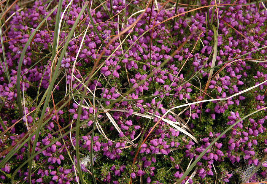
Much of the flattish land through which the road passes has been reclaimed from the heather to make farming grassland, but beyond that there are great views across the ice moulded hillocks and the lochs between. From Clousta it is possible to walk north to the settlement of Vementry crossing by the causeway at the tidal pond of the Briggs; although the distance is only 1.5 miles (2.5km) this is a great walk to experience a wild landscape as well as the chance to encounter both marine and moorland flora and fauna.

