Baltasound - Saxa Vord, Norwick and Skaw

Cycle Information

flagArea
Unst
cycle-distanceRoute Distance
25km / 15.5 miles
downloadGPX File
downloadKML File

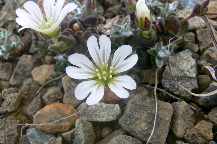
Taking the A968 north from Baltasound it is practically mandatory to stop at the World’s most famous bus shelter. You could make a short detour along the small side road beside the bus shelter to visit the Keen of Hamar Nature Reserve. This apparently barren ‘desert’ is the place where, in the 19th century, the teenage botanist Thomas Edmondston discovered the endemic Shetland Mouse-eared Chickweed; more commonly referred to as Edmondston’s Chickweed. Several other rare plants grow on the serpentinite debris of the hillside, including Norwegian Sandwort, Northern Rock-cress and Stone Bramble.

Just past Britain’s most northerly supermarket you can take another short diversion by a track leading down to Hagdale Horse Mill. Alongside the track is evidence of chromite and serpentinite quarrying operations and a Geopark Shetland interpretive panel on the mining history. At the foot of the track is the restored 19th Century horse-powered crushing circle that was used to crush the ore to extract chromite.

From the supermarket there is a climb over and down the almost bare rocky shoulder of Muckle Heog for the descent to the head of Harold’s Wick. The yellow-brown colour of the rocks is due to weathering (rusting) of the rocks due to their high iron content. These rocks once formed part of the Earth’s mantle deep beneath a long vanished ocean before they were eventually pushed to the surface by tectonic forces. Unst is the only place in the British Isles where you can cycle ‘down’ into the Earth’s mantle. There is more information about the fantastic geological history of Unst and Fetlar at Geopark Shetland’s Geowall at Unst Heritage Centre.
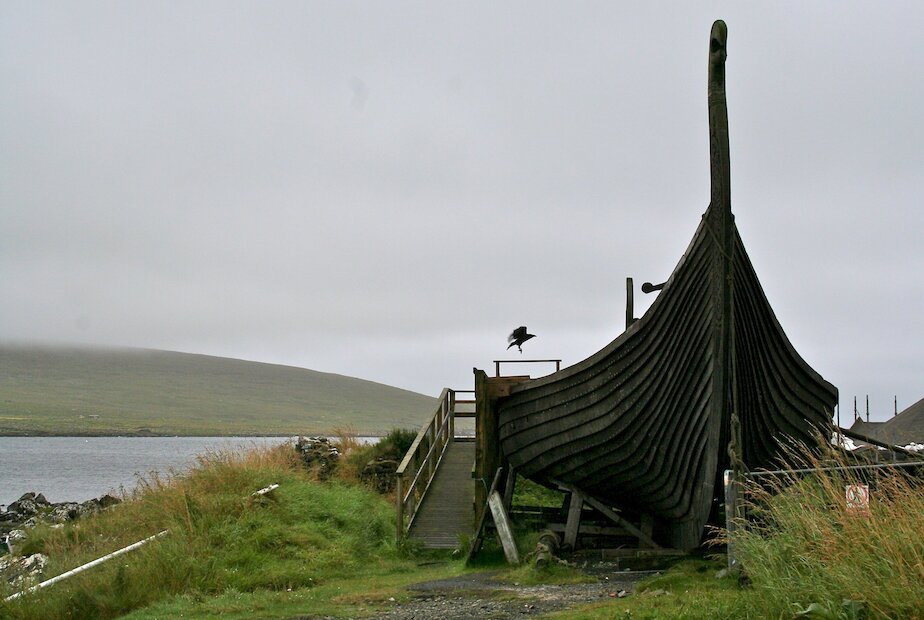
Near the shore at Haroldswick are a replica longhouse and the Skidbladner, a scale replica of the 9th Century Gokstad ship unearthed in Norway. The Skidbladner was built by a team from Sweden in an attempt to undertake a crossing of the North Atlantic. After some problems the ship came to rest in Shetland where it now forms part of The Viking Unst Project.

There is a network of small roads that loop through Haroldswick that can either take you along the shore past Unst Boat Haven or inland past Unst Heritage Centre. Just beyond the village the Saxa Vord complex is a former RAF base, which closed in 2006. The complex now provides a range of holiday accommodation with a restaurant and bar; also on the site are a chocolate factory and cafe with details of walks and cycle routes. Also on the site is Valhalla, Britain’s most northerly brewery which has a visitor centre.

On a clear day it is worth taking the 2 mile (3.5km) route from the Saxa Vord base up the old RAF road that leads to the top of Saxa Vord hill where the radar dome still stands. The climb is exceedingly steep for about 0.5 mile (1km) but reasonably easy on the top; the all round views from the top along the road, including sight of Muckle Flugga lighthouse, are superb and well worth the effort. Whilst on the hilltop you could consider the branch of the road for 1 mile (1.5km) to the east across Southers Field and the Ward of Norwick for more amazing views.

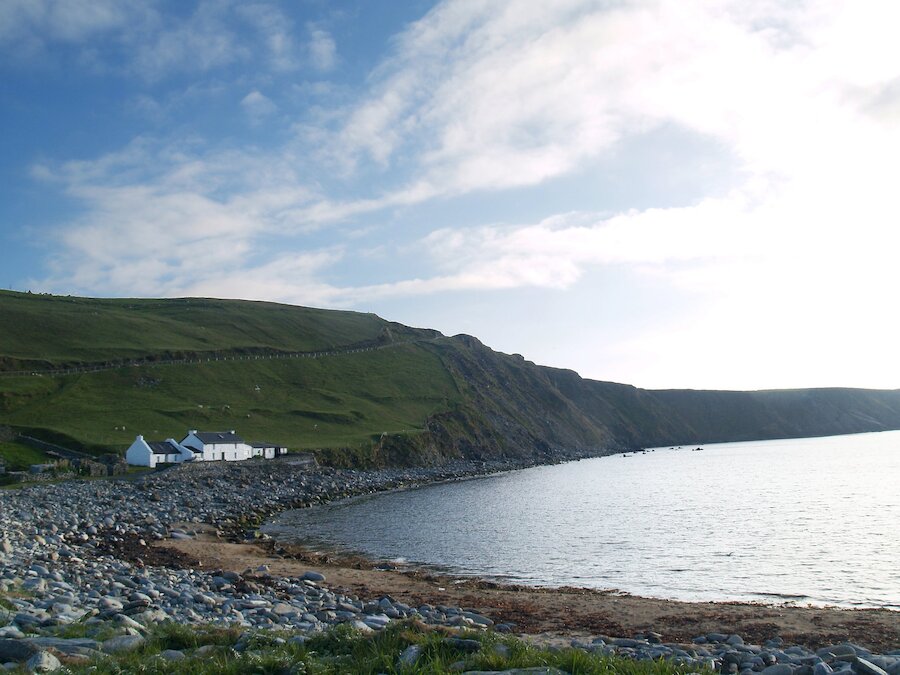
From Saxa Vord resort continue north for 1 mile (1.5km) to the sand dunes and golden beach of Norwick, the most northerly point on the 13,400 mile National Cycle Network. This is another locality on one of Geopark Shetland’s Ophiolite Trails and a guide is available from Unst Heritage Centre or from the Shetland Amenity Trust the website.

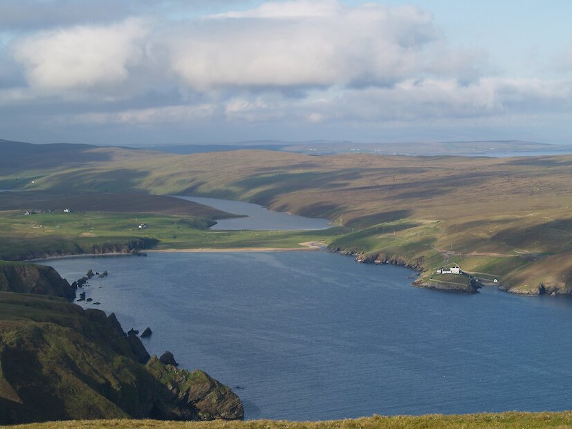
From Norwick the 2.5 mile (4km) ride to Skaw involves a steep climb of 0.5 mile (1km) but affords a splendid view across the valley and of the beach and Taing of Norwick below. There is a fairly flat run across the shoulder of the hill and a long descent to a car park by Britain’s most northerly inhabited house. From the car park there is a footpath to the most northerly sandy beach in the British Isles. In the low cliffs towards the far side of beach you will see the remains of an Iron Age house and some amazing rock structures and granite boulders with huge crystals.

On the return it is an option to take a 1.5 mile (2km) detour to the abandoned military site and the headland of Lamba Ness for more superb views of the cliffs and the chance of spotting a passing whale.

Search our cycle routes